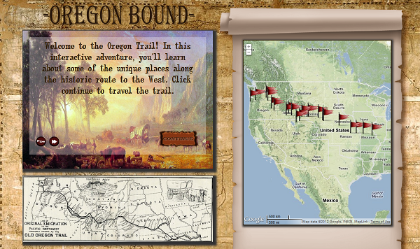
Oregon Bound is an interactive historical mapping project that allows the user to visit the significant stops along the Oregon Trail. The project integrates an informational narrative along with interactive maps, artwork form the time period, and links to further resources about each historical site. The project was created using HTML5, CSS3, JavaScript, and XML and utilized Google Maps API Version 3 for the interactive mapping content. Content overlays for the map were created in ArcMap 10. Click on the image to step back in time and travel the trail!